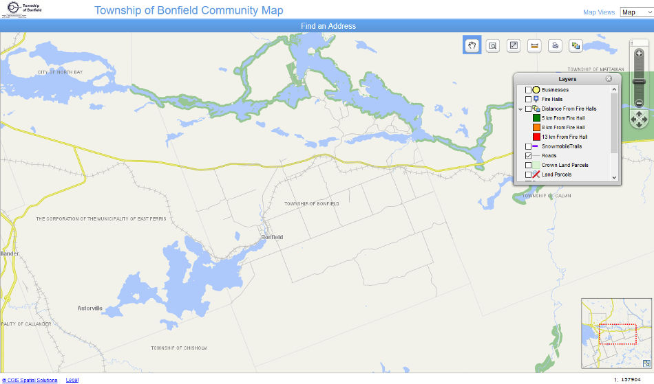
CGIS Mapping
How to Check Your Property’s Zoning Using CGIS:
1. Open the CGIS Zone Map.
Click the map below to open CGIS.
2. Enable the necessary map layers.
In the Layers tab, make sure the following layers are turned on:
-
- Roads
- Land Parcels
- Zoning Bylaw
3. Search for your property.
Use the Find an Address tool to enter your address and locate your property on the map.
4. View your zoning.
Once your property appears on the map, the zoning information will be displayed based on the enabled layers.